An archipelago state of around 700 km², the largely desert kingdom has enjoyed economic prosperity thanks to oil and gas exploitation since the 1930s.
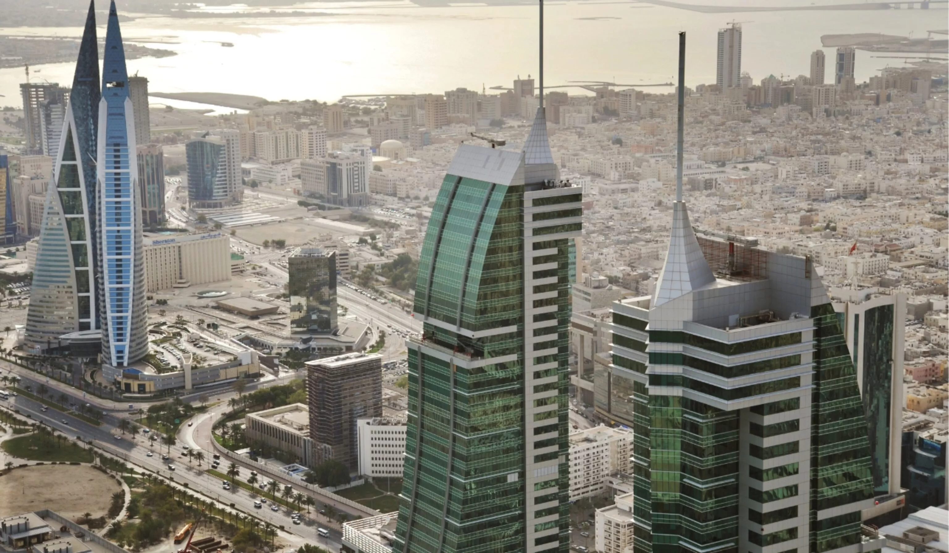
Bahrain is the third most densely populated sovereign state in the world, after Monaco and Singapore, with a density of over 1,700 h/km². Almost the entire population is concentrated in the north of the island of Bahrain, which is so urbanized that it forms a single conurbation. Oil resources are in decline, and their imminent exhaustion is forcing an economic conversion. Arable land is disappearing, with less than 3% of the territory under cultivation.
Yet Bahrain has been renowned for its date production since ancient times. However, desertification is a major environmental issue in Bahrain, due to the degradation of arable land as a result of urbanization in coastal areas. A policy of landfilling and artificial islands, with no overall planning, to accommodate new speculative real estate projects, also poses a threat to the marine environment and Bahrain’s island identity.
Our missions for the territorial strategy of the Kingdom of Bahrain
The contract awarded to the French consortium Expertise France, AREP, Egis, setec in the spring of 2016 involves updating the country’s regional planning strategy. The mission is being developed by combining the French vision in this area with Bahraini capabilities in the many government bodies involved in economic development and planning. A team of residents supported by “backoffice” expertise in France is auditing processes, proposing new planning management methods, and updating planning policies by involving the government entities that will then be in charge of implementing them at the end of the two-year mission, which began in April 2016.
Within the consortium, setec organisation is more specifically in charge of updating the integrated territorial strategy, with particular attention paid to the institutional consultation mechanism.


